Beijing, China — China’s ambitious step into space technology has reached a new milestone with the operational launch of the Nuwa satellite constellation. Comprising 12 high-tech radar satellites, Nuwa now stands as the country’s largest commercial radar remote sensing network, promising real-time, all-weather global observation.
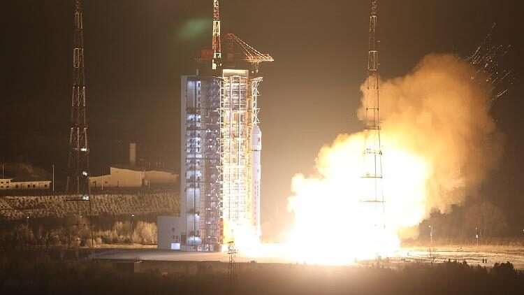
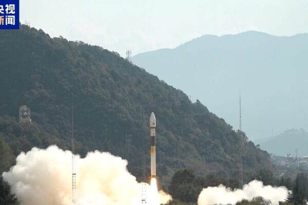
The latest addition of four PIESAT-2 satellites, sent into a 528-kilometer sun-synchronous orbit last week, successfully transmitted high-resolution images and data back to Earth. These satellites join eight others already in orbit, collectively enhancing the constellation’s capability to offer comprehensive coverage, including hard-to-reach polar and equatorial regions.
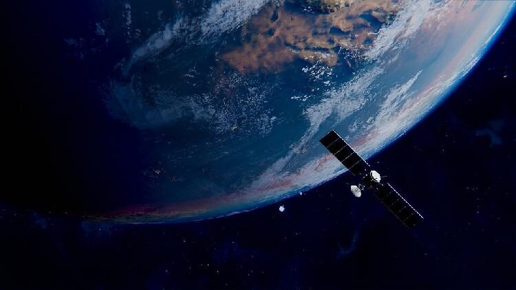
Named after the mythical Chinese goddess who fashioned humanity, the Nuwa constellation utilizes advanced radar technology to see through clouds and rain, ensuring uninterrupted Earth observation with imaging resolutions up to 1 meter. This cutting-edge ability enables constant monitoring of the planet’s surface, regardless of weather conditions.
Wang Yuxiang, chairman of PIESAT, the Beijing-based satellite firm behind Nuwa, highlighted the system’s rapid response features. “The satellites provide real-time remote sensing with quick response and agile observation capabilities,” he stated. “They take as little as 20 minutes to transmit data from command to ground reception.”
The satellites are strategically organized into three groups. The first group forms a wheel-like structure with a main satellite at the center surrounded by three auxiliary satellites. The subsequent groups, launched over the past two months, are arranged in similar formations, enhancing the network’s efficiency and coverage.
Looking ahead, PIESAT plans to expand the constellation to at least 20 satellites by 2025. This expansion aims to achieve a daily revisit interval, with the fastest revisit time reduced to just one hour, significantly improving the frequency and timeliness of data collection.
In addition to the hardware advancements, the PIESAT team employs artificial intelligence to boost image analysis efficiency. This integration allows for real-time monitoring of minute changes, such as millimeter-scale deformations in structures like dams and drainage systems, providing critical data for infrastructure maintenance and disaster prevention.
The Nuwa constellation represents a significant leap in space-based observation technology, offering unparalleled access and insights into our planet. As it continues to grow, it holds the promise of benefiting various sectors, from environmental monitoring to urban planning, both within China and around the globe.
Reference(s):
cgtn.com


