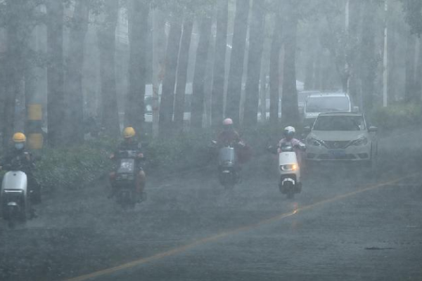
Typhoon Danas, the fourth typhoon of the year, formed early Saturday morning, stirring concerns across East Asia. By 5 p.m. Beijing Time, the storm’s center was positioned approximately 355 kilometers southwest of Taiwan’s Cape Eluanbi, hovering over the northeastern waters of the South China Sea. Packing maximum sustained winds reaching Force 10 near its core, Danas is showing signs of strengthening.
Meteorologists forecast that Typhoon Danas will gradually shift northeastward, potentially intensifying into a full typhoon. The storm is likely to head toward coastal areas between southwestern Taiwan and northern Fujian province on the Chinese mainland.
In anticipation of the approaching typhoon, China’s National Meteorological Center issued a yellow typhoon warning at 6 p.m. on Saturday. The alert urges residents and authorities in the projected path to brace for heavy rains and strong winds.
China’s State Flood Control and Drought Relief Headquarters activated a Level IV emergency response for flood and typhoon control in the provinces of Fujian and Guangdong. A working group has been dispatched to Fujian to assist with local emergency preparedness and coordinate efforts to mitigate potential impacts.
The Office of the State Flood Control and Drought Relief Headquarters, together with the Ministry of Emergency Management, held a joint consultation on July 5 to assess the storm’s progression. They conducted video briefings with officials in the affected regions to ensure that response measures are effectively implemented, aiming to safeguard lives and property.
Communities in the typhoon’s projected path are advised to stay alert, follow updates from local authorities, and take necessary precautions as Danas approaches.
Reference(s):
cgtn.com


